
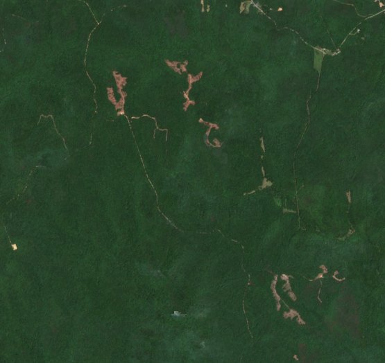
Timber harvest: Bankhead National Forest, Alabama
About 50 acres of new clearings detected and outlined across 10 areas.
See what changed on a large property between two seasons, from satellite: timber cuts, clearing, fire and new building, each area outlined and measured in acres. Built for land trusts, timberland owners and conservation-easement monitoring.
Looking for tax-sale lots? That's the Tax Sale Shortlist.
Each sample compares two summers of Copernicus Sentinel-2 imagery on public land and outlines what changed.
About 50 acres of new clearings detected and outlined across 10 areas.
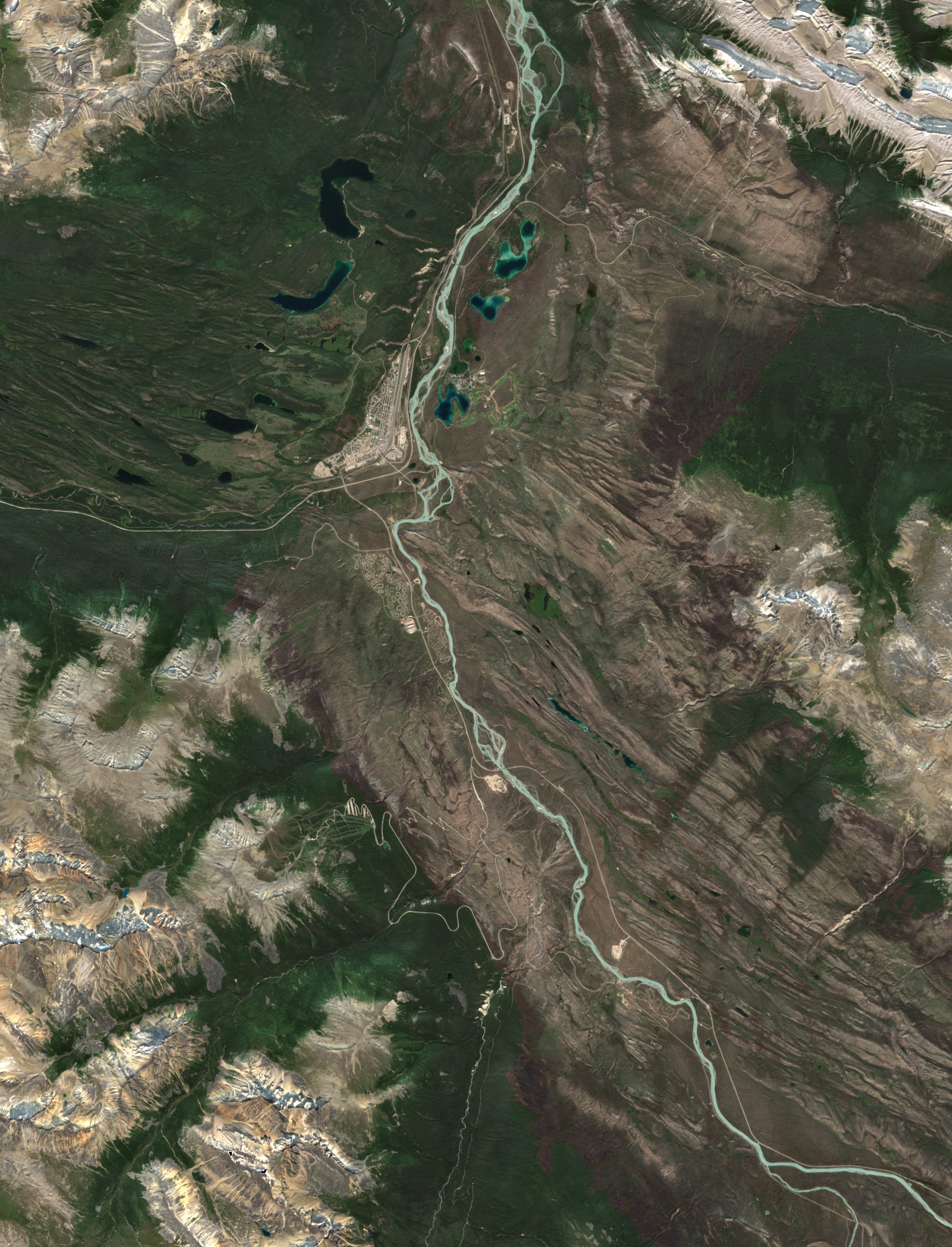
The 2024 wildfire's burn scar around the Jasper townsite: about 37,700 acres of vegetation loss in the area shown.
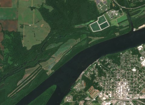
Wildlife food plots planted on open strips: 9 areas of new vegetation, no clearing.
Boundaries: USGS PAD-US 4.1; Jasper boundary contains information licensed under the Open Government Licence – Canada. Imagery: contains modified Copernicus Sentinel data.
One report, or ongoing monitoring priced by acreage.
Two seasons compared for one property up to 2,500 acres, with an interactive map and a PDF. Larger areas by quote.
Every season, on all your properties, with a change summary. Tell us your acreage for a quote.
Tell us where you buy. We'll add it, and send you a free screening of its next tax sale.